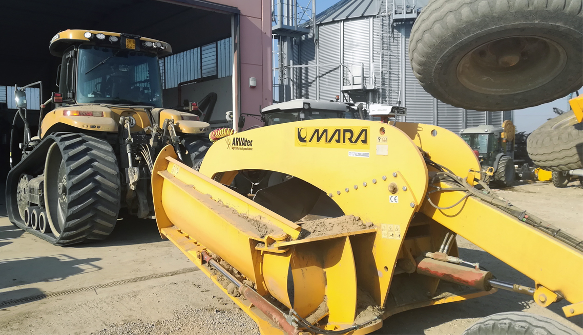
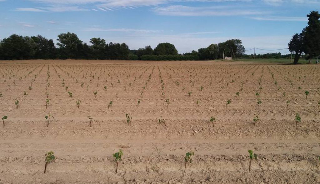
A powerful GNSS receiver for earthmoving. With ARVAlelvel you can do the project and the work right in field. With ARVAlevel you manage slopes and you can see in real time the cubic meters you are going to move. When you’re ready you can perform the work in a few steps.
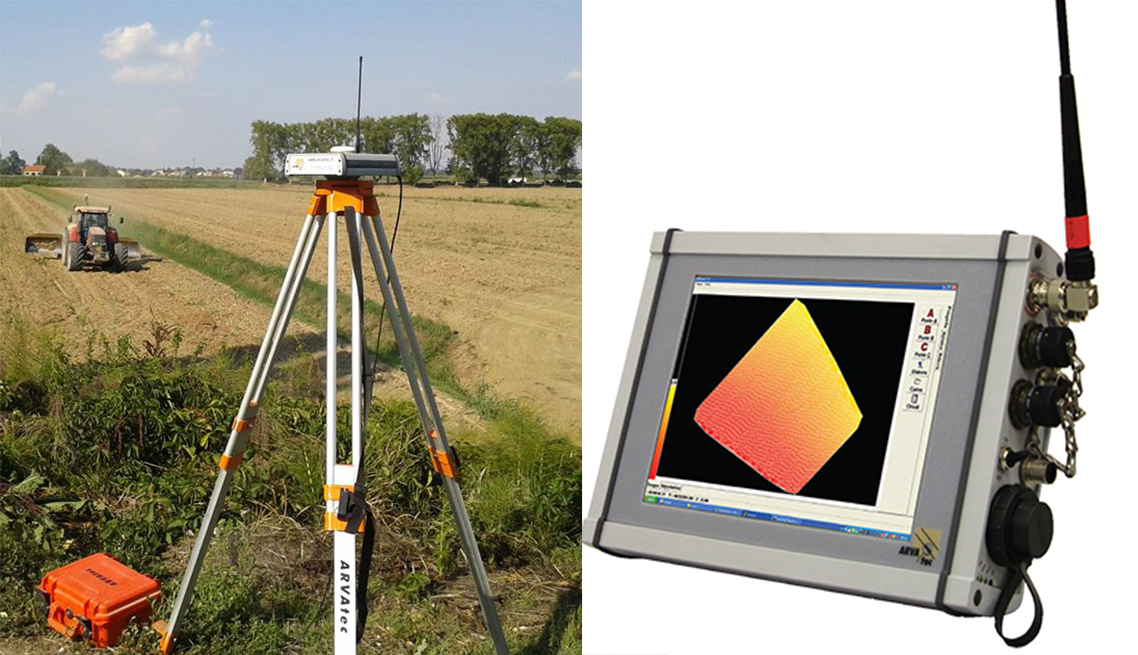
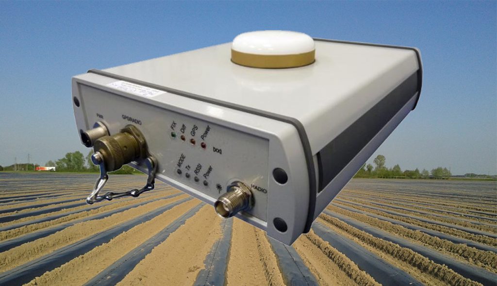
The complete system consists of a PC, a GNSS receiver and a control unit to manage the level or blade. To achieve centimeter accuracy it is necessary that the overall accuracy of the system is centimetric and that is why it’s better to rely on a GNSS-owned base. ARVAlevel works with RTK NTRIP network if needed.
Do the work in 3 steps:
1- Mapping
The first operation to be performed is mapping. First you have to sign the perimeter of the plot and after that some random pass within the plot. This is the crucial phase in which ARVAlivella will stake the field automatically.
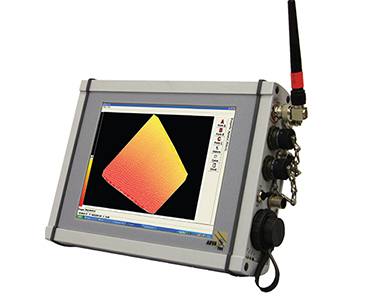
2- Project
After the mapping phase ARVAlevel will show you at a glance a colored representation of the field’s altitude. At this point we will choose three reference points to orientate our leveling and ARVAlivella will automatically determine the compensation plan and the cubic meters that we will have to move. It will be possible in a few minutes to calculate the ideal slope in relation to the orientation, to the cubic meters and the displacement distance.
3- Leveling
The work will start in an extremely simple way. Place the joystick on automatic and the level or blade will be automatically managed according to our position. The display will show you where is the high land and the low land. When the correct plan has been reached the color of the display will be green.
Once the whole project is green, your work is done. Move to the next one!